


In an emergency, information is almost as important as the response itself. Knowing where people are, what has happened, which roads are still open and where resources are needed can make a real difference. The problem is that all of this information can change very quickly. A route that was clear half an hour ago might suddenly be blocked. A safe building may no longer be safe. An area that seemed unaffected can become a priority within minutes.
- A Smartphone Can Do More Than Make a Call
- AI Is Helping with the Information Overload
- Digital Maps Give Responders a Better View
- Drones Can Go Where People Cannot
- Fundraising Has Become Part of the Digital Response
- People on the Ground Are Still a Major Source of Information
- The Real Advantage Comes from Connecting Everything
This is where modern technology has started to change emergency response. It’s not just about futuristic equipment or complicated software. Some of the most useful tools are already sitting in people’s pockets.
A Smartphone Can Do More Than Make a Call
Most emergency response systems still depend on people being able to communicate what’s happening. Smartphones have made that process considerably easier. Location sharing, emergency calling, GPS and safety applications can give responders information that would otherwise take time to collect. If someone is injured and unable to explain exactly where they are, location data can sometimes provide the missing piece.
There’s also a practical side to this. Emergency alerts can be sent directly to phones in a particular area, warning people about floods, fires, severe weather or evacuation orders. Of course, none of this works perfectly everywhere. Poor mobile coverage, damaged infrastructure and a dead phone battery can quickly turn a useful device into a useless one. That’s why technology works best when it’s part of a wider emergency system rather than treated as the solution on its own.
AI Is Helping with the Information Overload
Emergency teams can receive huge amounts of information during a major incident. Reports from the public, weather data, satellite images, traffic information, sensor readings and updates from field teams can all arrive at the same time. Going through all of that manually is difficult.
AI can help sort and analyse this information much faster. Machine learning systems can identify patterns, flag unusual activity and help predict where a situation could develop next. In some cases, AI can also help determine which roads are likely to be the quickest for emergency vehicles. That doesn’t mean a computer should be making every decision.
In a crisis, there can be missing data, contradictory reports or situations that an algorithm simply doesn’t understand. Human judgement is still essential. AI is most useful when it helps emergency professionals see the bigger picture without having to manually process every piece of information. The United Nations has also been looking closely at this area, particularly the use of AI for early warning, risk assessment and disaster management.
Digital Maps Give Responders a Better View
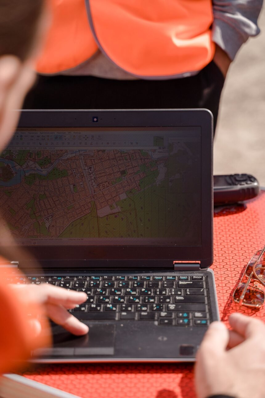
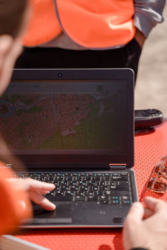
A normal map tells you where things are. A GIS map can tell you what’s happening there. Geographic Information Systems allow emergency teams to bring different types of information together on one digital map. Roads, hospitals, buildings, flood zones, damaged infrastructure, emergency vehicles and weather conditions can all be displayed and updated. This becomes especially useful when an incident is moving quickly.
Imagine an ambulance being sent towards an affected area, only for a road to become inaccessible. If that information is updated on the system, another route can be found before the vehicle reaches the blockage. It sounds simple, but those small decisions add up during a major emergency.
Drones Can Go Where People Cannot
Sending people into an unstable building or badly damaged area just to find out what’s happening creates another risk. Drones can often get that first look instead. Cameras and thermal sensors can be used to inspect damaged structures, flooded areas, fires and difficult terrain. The footage can then help emergency teams decide where people should go and where they shouldn’t.
There’s another advantage: speed. A drone can cover an area relatively quickly without waiting for a full team to reach it. In situations where every minute matters, that information can be valuable. In a similar manner, Internet of Things connected sensors are helpful. Without requiring someone to physically visit the place, they may give reports on things like temperature, air quality, water levels, and structural movement. The increasing use of technology like drones, remote sensing, and real-time data in disaster-risk management has been emphasised by the UN Office for Disaster Risk Reduction.
Fundraising Has Become Part of the Digital Response
Emergency response doesn’t stop at the people working at the scene. Medical supplies need to be purchased. Food and clean water need to be moved. Temporary accommodation may be required. All of that costs money, and getting financial support to the organisations providing assistance is another part of the wider response.
Online fundraising has made that process much faster. Someone can see an emergency, find a campaign, check the organisation behind it and make a donation from a phone. There’s no need to wait for a physical collection or a local fundraising event. A person looking for a Gaza appeal can, for example, find an online campaign and contribute remotely.
People on the Ground Are Still a Major Source of Information
There’s a tendency to think of emergency technology as satellites, AI and drones. Sometimes the most useful update still comes from an ordinary person with a phone. Residents can report blocked roads, damaged buildings, missing services or areas that have suddenly become dangerous. Social media and community reporting platforms can spread those updates very quickly.
But there’s a catch. Not everything posted during a crisis is accurate. Old photographs can be shared as new ones. A rumour can look like a confirmed report within minutes. Emergency organisations therefore need ways to verify crowdsourced information before using it to make important decisions. Technology can help with that too, by comparing multiple reports and identifying information that needs further checking.
The Real Advantage Comes from Connecting Everything
The most useful emergency systems aren’t built around one piece of technology. A smartphone might provide someone’s location. A GIS platform can put that location on a live map. Traffic data can suggest a route. AI can help prioritise the response. A drone can then provide a visual check of what’s happening on the ground.
Each system fills a gap. That’s really where modern technology is making the biggest difference. It allows information from different sources to move between the people who need it, instead of sitting in separate systems. There are still obvious limitations. Technology needs electricity, connectivity, trained people and functioning infrastructure. It also needs sensible rules around privacy and data security. The focus, then, shouldn’t simply be on adopting the newest technology available. The more useful question is whether a system can get accurate information to the right person quickly enough to matter. During an emergency, that can be the difference between knowing there’s a problem and actually being able to respond to it.